
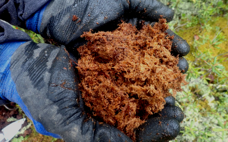

Calculate stockpile volumes with greater accuracy, faster, and for less money than ever before using drone collected data. Paired with our sieve analysis, you get a true picture of your product.
Calculate stockpile volumes with greater accuracy, faster, and for less money than ever before using drone collected data. Paired with our sieve analysis, you get a true picture of your product.
Using drones we can analyze the areas disturbed by developments or natural disasters such as floods or land slides.
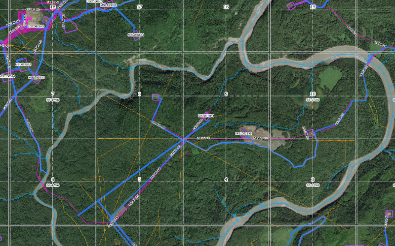
Contour maps of the existing conditions can be created to better understand material volumes and elevation changes.
By collecting topographic data with our drone technology we are able to generate 3-dimensional surficial models allowing us to analyze water flow paths.
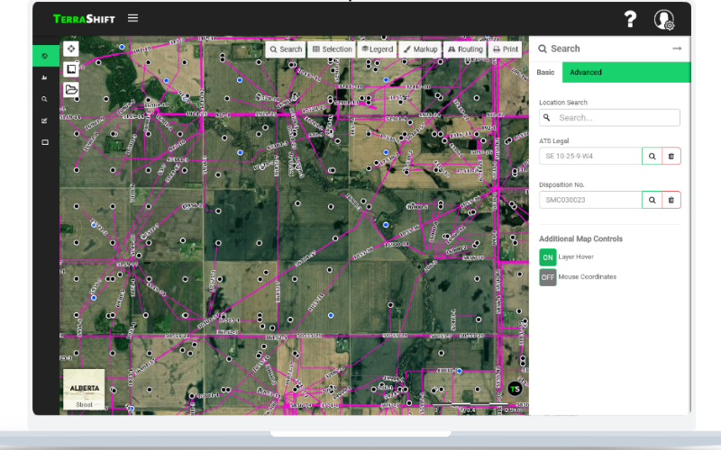
Drones allows us to provide companies with faster pipeline inspection surveys, right-of-way inspections, and well site surveys (pre and post construction).
Up-to-date and high quality aerial imagery is captured using the drone and properly geo-referenced to provide a clearer picture of the current conditions.