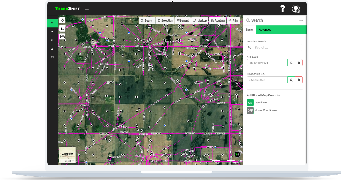
TerraMaps is a professional grade mapping application which provides a simple, but full featured user experience. You can access it through your browser on your computer, tablet, or mobile device. You never have to install or update any software and it is compatible with all operating systems.
From the ground up, TerraMaps was designed to provide the best user interface to make mapping easier.
While providing an easy to use interface, TerraMaps doesn't skimp on powerful tools for more advanced tasks.
Access over 100 layers of data through in both mapping and reporting interfaces.
Measure distance and area as well as add markup to your maps to make them your own.
Our route calculation tool makes determining driving distances, times, and paths simple.
Import your own data to the map in kml, gpx, or shp file formats and download in kml format.
Get the advantage of the first ever application tracking system for public and private land dispositions. Our easy to use interface allows you to quickly see and track when and where applications are being submitted and more importantly by who!
TerraMaps is natively compatible with mobile browsers such as Chrome and Firefox allowing you to access the information you need on the run without having to install another app.


We offer a range of solutions to meet your GIS needs whether they be basic mapping or something more custom.
For individuals looking to give TerraMaps a test drive
For those needing a premium mapping product at a great price
For companies or groups that need a custom mapping solution
TerraMaps has over 100 layers of information to assist in your mapping and planning processes.
| Layer Name | Category | Country | Province/State |
|---|